
At Work | 2009
Summary of maintenance and special projects completed in 2009.
Summary of maintenance and special projects completed in 2009.
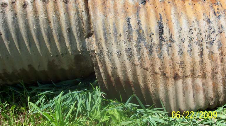
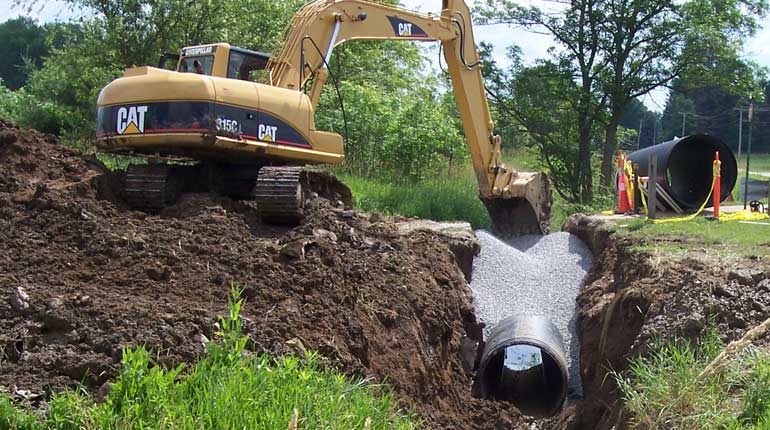
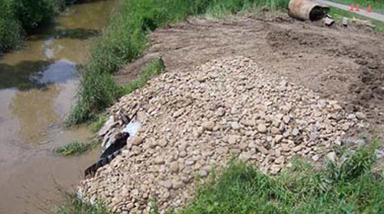
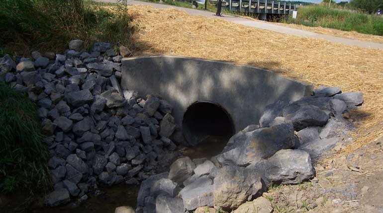
The replacement of this structure involved cooperative efforts between the Medina County Park District and the Subdistrict. The Park District staff did the work and shared the cost of materials with the Subdistrict.
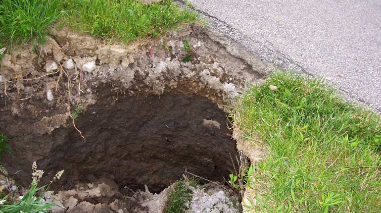
The stream channel running north in the middle of the emergency spillway was blocked by brush and sediment causing neighboring property to flood, the emergency spillway to remain saturated, and ultimately reducing the efficiency of the dam.
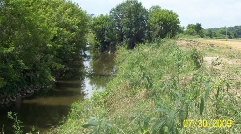
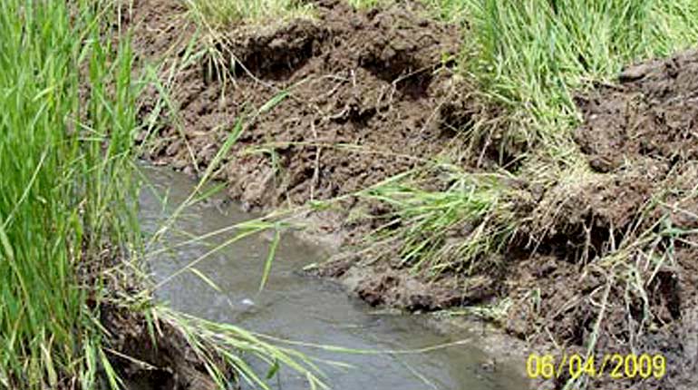
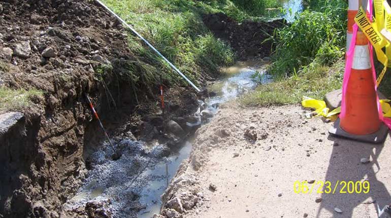
Trees and brush along the banks of Chippewa Creek between Shorle Rd. and Blough Rd. had grown over the years to the point where the flow of water was greatly reduced causing flooding of fields upstream.
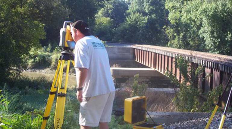
The United States Geological Survey (USGS) conducted a hydraulic study of the Chippewa Flood Control Project. The study will enable the Subdistrict to model modifications to the structures and 33 miles of channels and aid in the decisions about repairs and improvements based on current data and conditions.
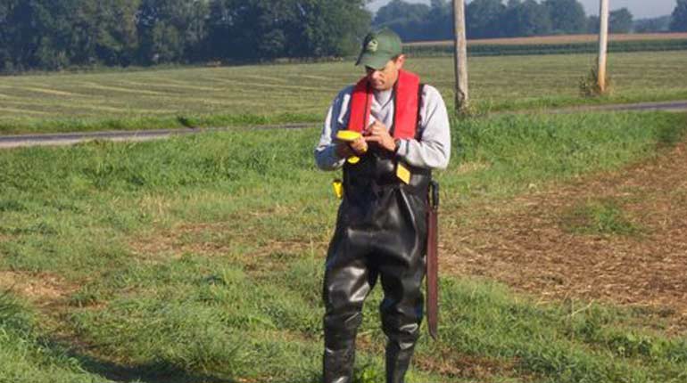
The GPS/GIS Asset Inventory was designed to accomplish three main goals:
a. Locate all of the structures in the channel
b. Determine their attributes, i.e. diameter, type of pipe, past condition, & current condition including pictures
c. Establish a database of all structures within the flood control system.
The replacement of this structure involved cooperative efforts between the Medina County Park District and the Subdistrict. The Park District staff did the work and shared the cost of materials with the Subdistrict.