Purpose | Flood Control
Creation of the Chippewa Flood Control System began in 1956 and was completed in 1980 and included the construction of 8 dams and the improvement of 33 miles of channel. It encompasses 188 square miles (120,320 acres) in northern Wayne and southern Medina counties.
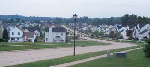
Flood control projects are typically designed to convey significant amounts of stormwater runoff safely. A well designed project, like the Chippewa Flood Control System, is capable of doing just that as shown in the photo to the left*. The dam and spillway system hold back floodwaters and release them gradually to reduce or eliminate downstream flooding and damage to properties. *Dam III-A (Hubbard Valley). Stormwater exiting the principal spillway outlet following a storm event.