Private Property
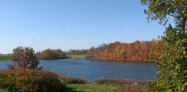
The banks of streams are in most cases - private property.
The banks of streams are in most cases - private property.
The Chippewa Watershed Subdistrict has easement rights to operate and maintain the banks and berm roads along the Flood Control Project.
It is unlawful for the public to access private property unless specific permission has been received from the property owner.
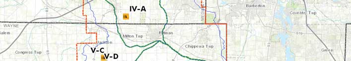
Chippewa Subdistrict Online Map has dynamic overlays of:
The Channel Construction and Maintenance Easement allows Subdistrict staff to enter private property to inspect, maintain and permanently operate the Chippewa Flood Control System.
The easement grants Subdistrict staff permission to cut, clear, trim, and dispose of obstructive woody debris and foliage as necessary to accomplish maintenance, and the right to place appropriate spoilage removed from the channel upon the surface of the adjacent land within the easement as described below. All dirt and spoilage material shall be piled, spread or windrowed as requested by the landowner providing said request does not increase the cost or hinder or interfere with operation and performance of the Flood Control System.
The easement also prevents disturbance of the sodded condition of the berms and the right to prevent construction of any type that would in any way impede the free flow of water either in the improved channel or on the adjacent berms or interfere with maintenance unless approved in advance by the Subdistrict.
This easement, except for purposes of ingress and egress, is limited to the area occupied by the channel as shown by the Official Plan as amended and to the areas extending outward from the top of each side of the channel for a distance of 150 feet along channels having a bottom width of 60 feet or more, and extending outward from the top of each side of the channel for a distance of 100 feet along channels having a bottom width of less than 60 feet. Subdistrict staff shall use the existing drives and pathways wherever reasonably possible.
For detail about Public Access to property or structures - see below.