Maps
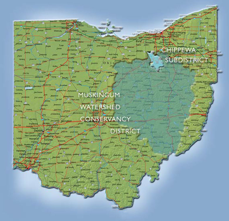
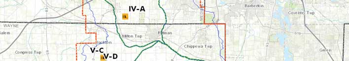
The Chippewa Subdistrict comprises 120,320 acres or 188 square miles.
Size in acres:
Medina County: 51,905
Wayne County: 67,959
Summit and Stark Counties: 546
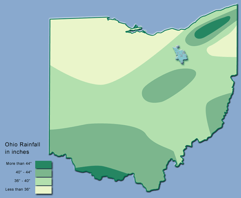
The Chippewa Subdistrict rests on the St. Lawrence Seaway Divide. Rainfall north of our watershed drains to the Ohio River and eventually, the Gulf of Mexico.
Chippewa Subdistrict Online Map has dynamic overlays of:
- Chippewa Watershed
- Chippewa Jurisdiction
- County Boundaries
- Easement & Reach Zones.
- Regions outside Chippewa project limits
For a complete listing of the Chippewa Subdistrict dams click the button below.
Page & Details
Subdistrict - Dams