At Work | 2009
Summary of maintenance and special projects completed in 2009.
Summary of maintenance and special projects completed in 2009.
The replacement of this structure involved cooperative efforts between the Medina County Park District and the Subdistrict. The Park District staff did the work and shared the cost of materials with the Subdistrict.
The stream channel running north in the middle of the emergency spillway was blocked by brush and sediment causing neighboring property to flood, the emergency spillway to remain saturated, and ultimately reducing the efficiency of the dam.
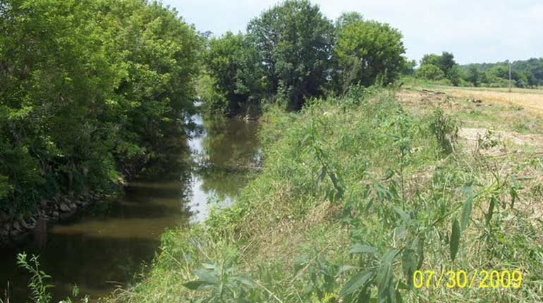
Trees and brush along the banks of Chippewa Creek between Shorle Rd. and Blough Rd. had grown over the years to the point where the flow of water was greatly reduced causing flooding of fields upstream.
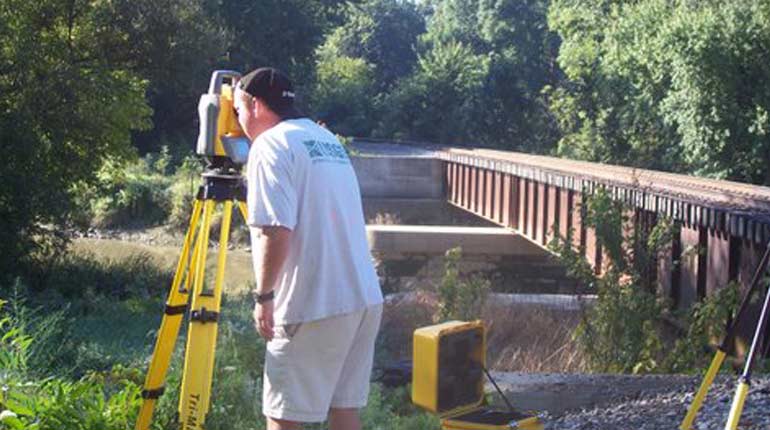
The United States Geological Survey (USGS) conducted a hydraulic study of the Chippewa Flood Control Project. The study will enable the Subdistrict to model modifications to the structures and 33 miles of channels and aid in the decisions about repairs and improvements based on current data and conditions.
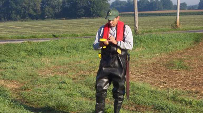
The GPS/GIS Asset Inventory was designed to accomplish three main goals:
a. Locate all of the structures in the channel
b. Determine their attributes, i.e. diameter, type of pipe, past condition, & current condition including pictures
c. Establish a database of all structures within the flood control system.
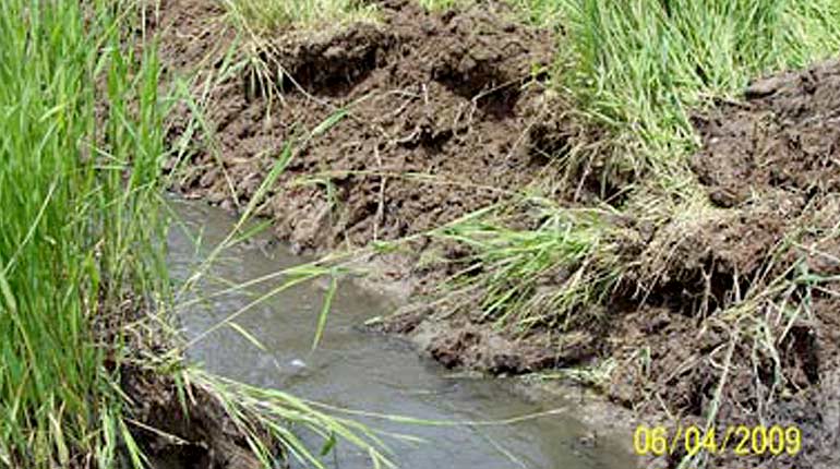
Since the beginning of the Chippewa Flood Control System, and during the past twenty-five years, much of the needed maintenance could not be completed as planned due to lack of funding. This caused many of the channel banks to become overgrown with woody vegetation, which made it near to impossible to maintain the banks or the culverts installed for the purpose of draining the floodwaters. In addition, as trees grew, many would lose branches or fall into the channel causing log jams, bank erosion, and more localized areas of flooding due to the inability of the stream flow to get through the blockage.
Maintaining the 33 miles of channel helps to ensure that flood waters will recede from the land, quickly and efficiently.
During the past ten years, an effort by the Chippewa Subdistrict has been made to provide funding through an assessment permitted by the Conservancy District Laws of Ohio.
These assessment dollars, which can only be spent on maintenance of the Chippewa Flood Control Project, have been utilized on several projects designed to return the Project to its original design objectives.
*For activities prior to 2005, contact us.
Maintenance Activities must be done consistently to keep the Flood Control System working properly. Dams and channels must be mowed annually to manage woody growth, and provide access to allow for equipment and inspections. Visit our Shorle-Blough project to see a recent example of maintenance.
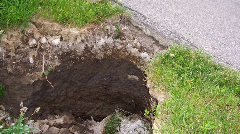
When the Chippewa channel was constructed, nearly 500 pipe structures were installed. These structures used corrugated metal pipes (CMP), which vary in diameter and length, and are an integral part of the System as they move runoff water safely into the channel. The CMP pipes have exceeded their lifespan and are being systematically replaced with superior quality pipe, such as high density polypropylene (HDPP) or high density polyethylene (HDPE). These new pipes are intended to last for many decades.
Special Projects vary each year and involve items of work that are outside the usual scope of maintenance. They are necessary to keep pace with new standards and regulations, as well as changes in the Watershed.
Our GPS / GIS mapping is a Special Project allowing us to locate and evaluate nearly 700 hydraulic structures originally installed throughout the channels. When completed, Subdistrict staff will be able to prepare a proactive maintenance schedule to ensure that structures are repaired or replaced before failure occurs.